§ THE MAP SELECTION TOOLS ALLOW YOU TO SELECT FEATURES BY CLICKING, DRAWING A LINE, SQUARE,
POLYGON (FREEHAND) OR CIRCLE (RADIUS).
§ ALL THE MAP SELECTION TOOLS CAN BE FOUND UNDER THE TOOLS TAB IN THE SPATIALXL RIBBON. (SOME OF
THEM MAY ALREADY BE ADDED TO THE SHORTCUT MENU)
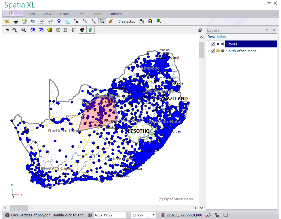
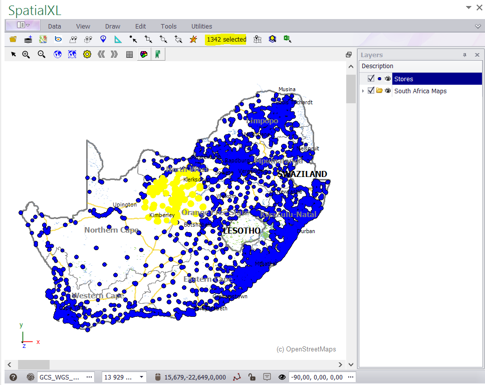
The following illustration shows how to select point data e.g. STORES on a map using the polygon (freehand) drawing tool:
1.Click the polygon drawing tool ADD ALL INTERSECTING POLYGON TO SELECTING.
2. Create a polygon by clicking points on your map with the left mouse button - double click when finished to complete the
polygon. (Right click to remove a point while you are drawing.)
3. The number of selected features will display in the quick view box.
(Repeat the above steps when using a square or circle etc to select points - click and drag to display each of these features.)
• To deselect features on your map at any time click the SELECT NONE button.
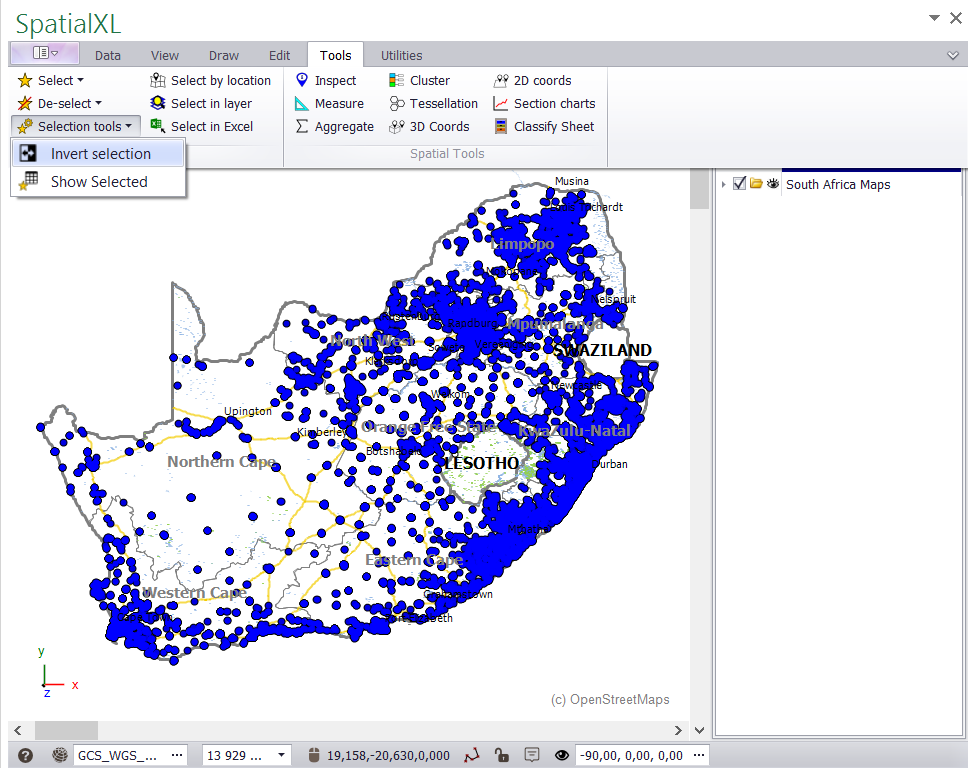
• To flip or invert your selection at any time click the TOOLS tab and SELECTION TOOLS - INVERT SELECTION.
|
Copyright (c) PrimeThought Software Solutions CC


