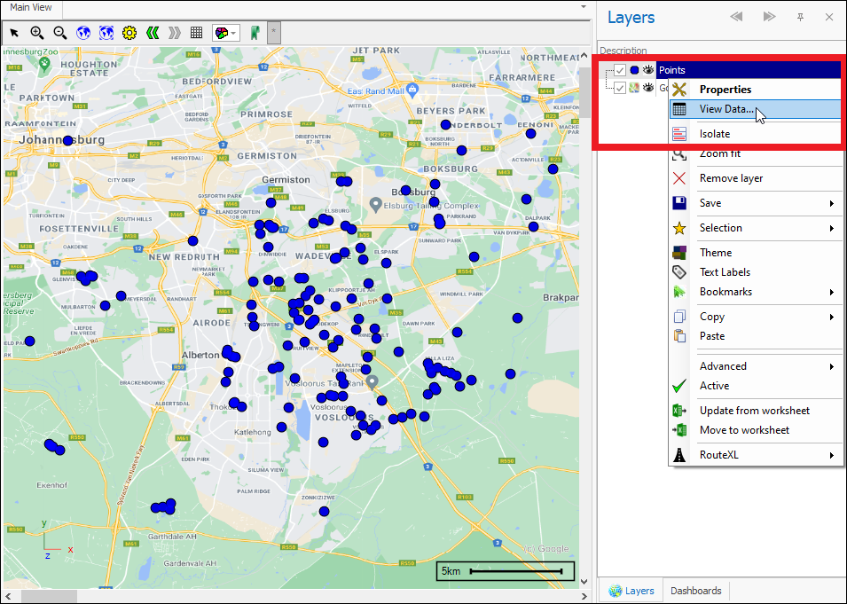
❖The Layer Data Grid is the data table connected with all layers in all our spatial products. It is accessed by right clicking on the layer and going to View Data:


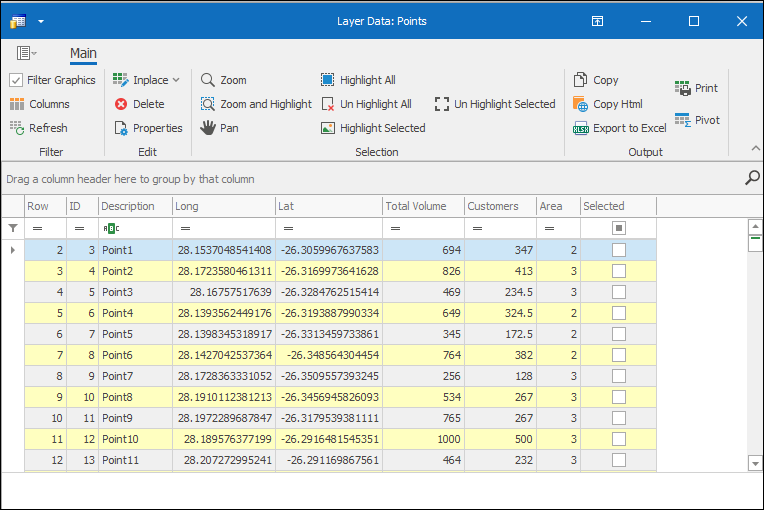
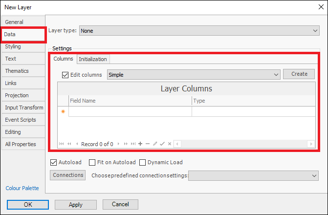
This is a Layer Data Grid for my Points layer. Each row in this grid represents a single point, and as you can see there is an ID, Description and other data for each point. How the grid comes about for the layer depends on how the layer was created. In this case this layer was added from Excel and so all the data in my Excel worksheet will make up the grid for the layer. When creating an new empty layer however, you will specify what columns you want the data grid to be made up of, and this is done in the Layer Properties box , Data tab as gone over in the Layer Properties Guide:


❖We will start by taking up the features of the grid itself: