Borehole De-surveying
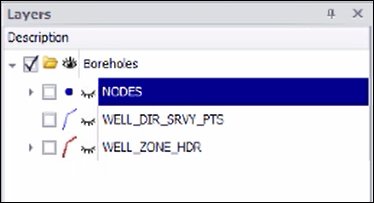
❖In all our spatial products you are able to do on-the-fly borehole de-surveys. You can load your boreholes from an Oracle or any other database (or add them as a layer from Excel itself in the case of SpatialXL). In this demonstration we will be pulling the data from an Oracle database. We are pulling the data from a NODES table which are the collars of the borehole, this has been added as a layer and if we go to the Layer Properties you will see the connection works like this:
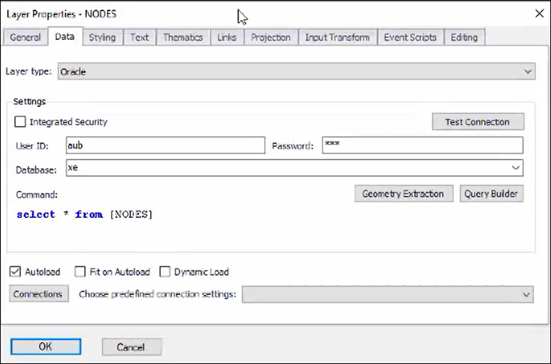
We have chosen the layer type as Oracle, put in our credentials for the database and then entered the query to select all from the NODES table in the database.
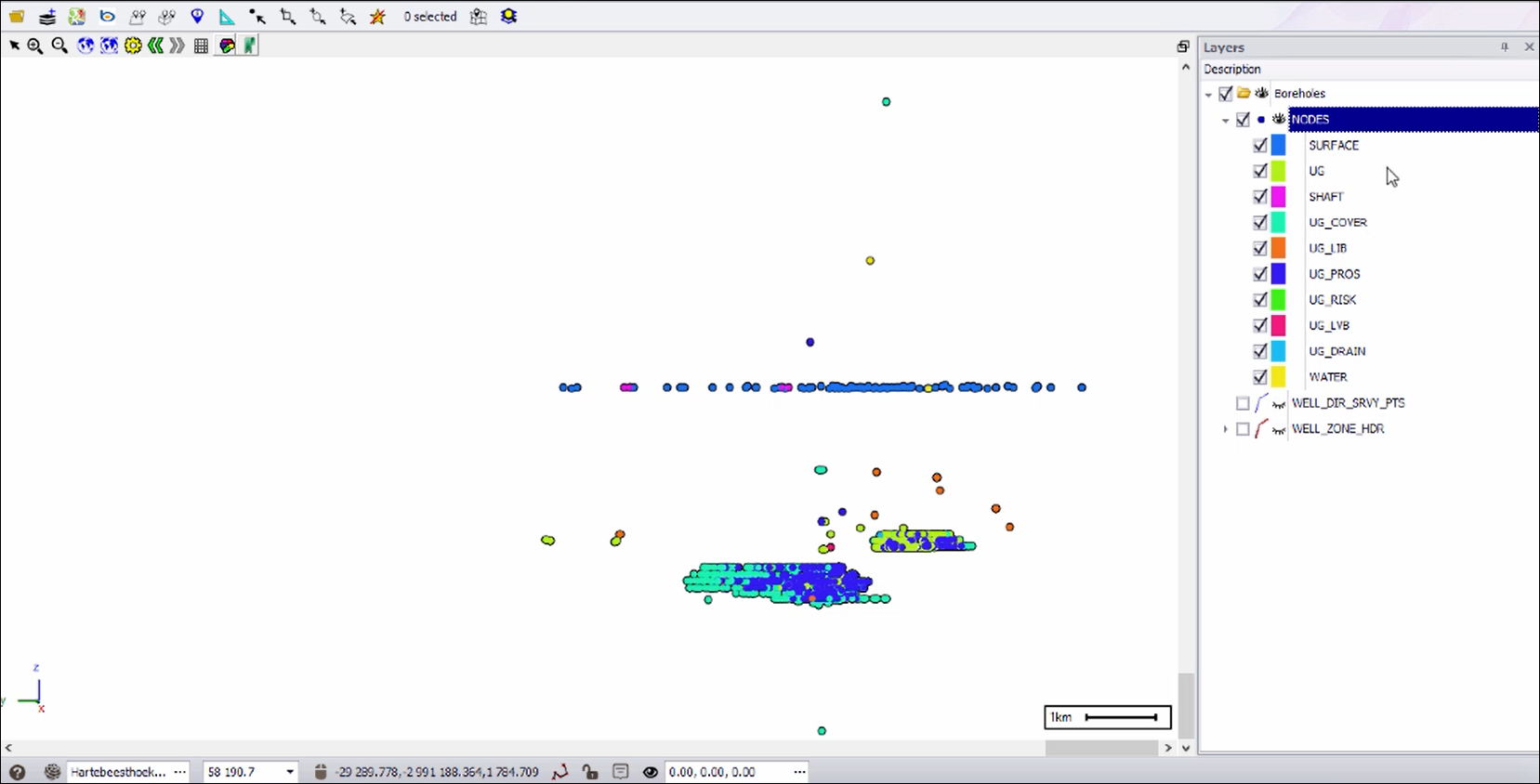
❖I will turn the NODES layer on now so we can see them in the scene, I have used the theming facility to theme these collars on whether they are surface, underground etc.:
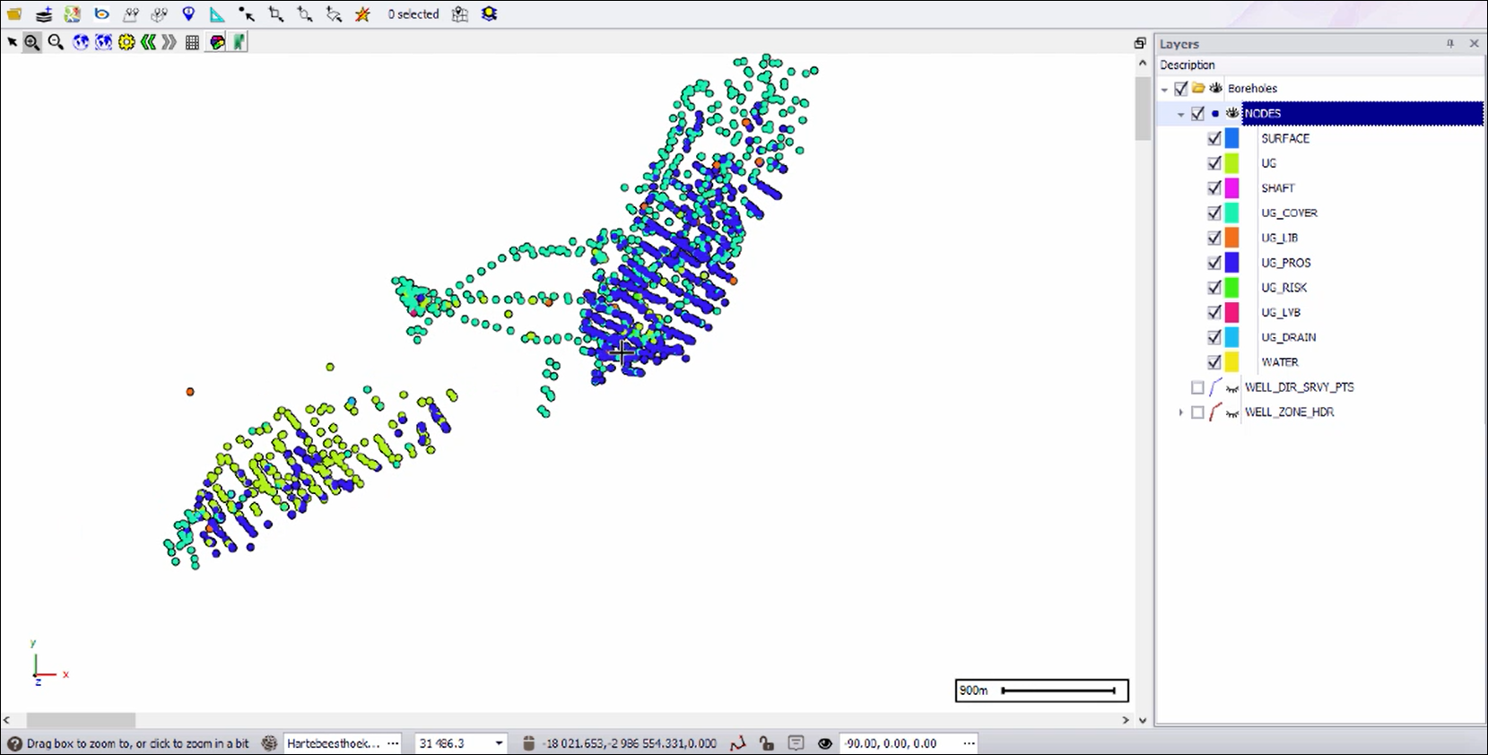
I’ve used the feature of our spatial products where you can project on the fly. If you look in the layer data you will see the X,Y and Z columns which I’m using to place these collars are in geographical coordinates:
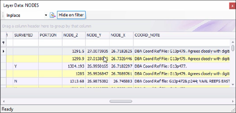
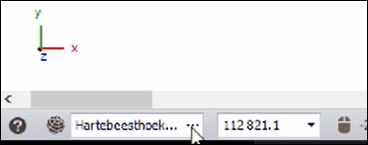
However, in our scene we are using the HartebeeshoekLO27 coordinates which is the true coordinates of the area:
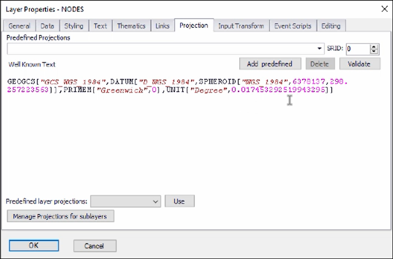
In the Layer Properties however I have specified that this NODES layer is in the geographic coordinate system, this is then projected on the fly to the scene projection:
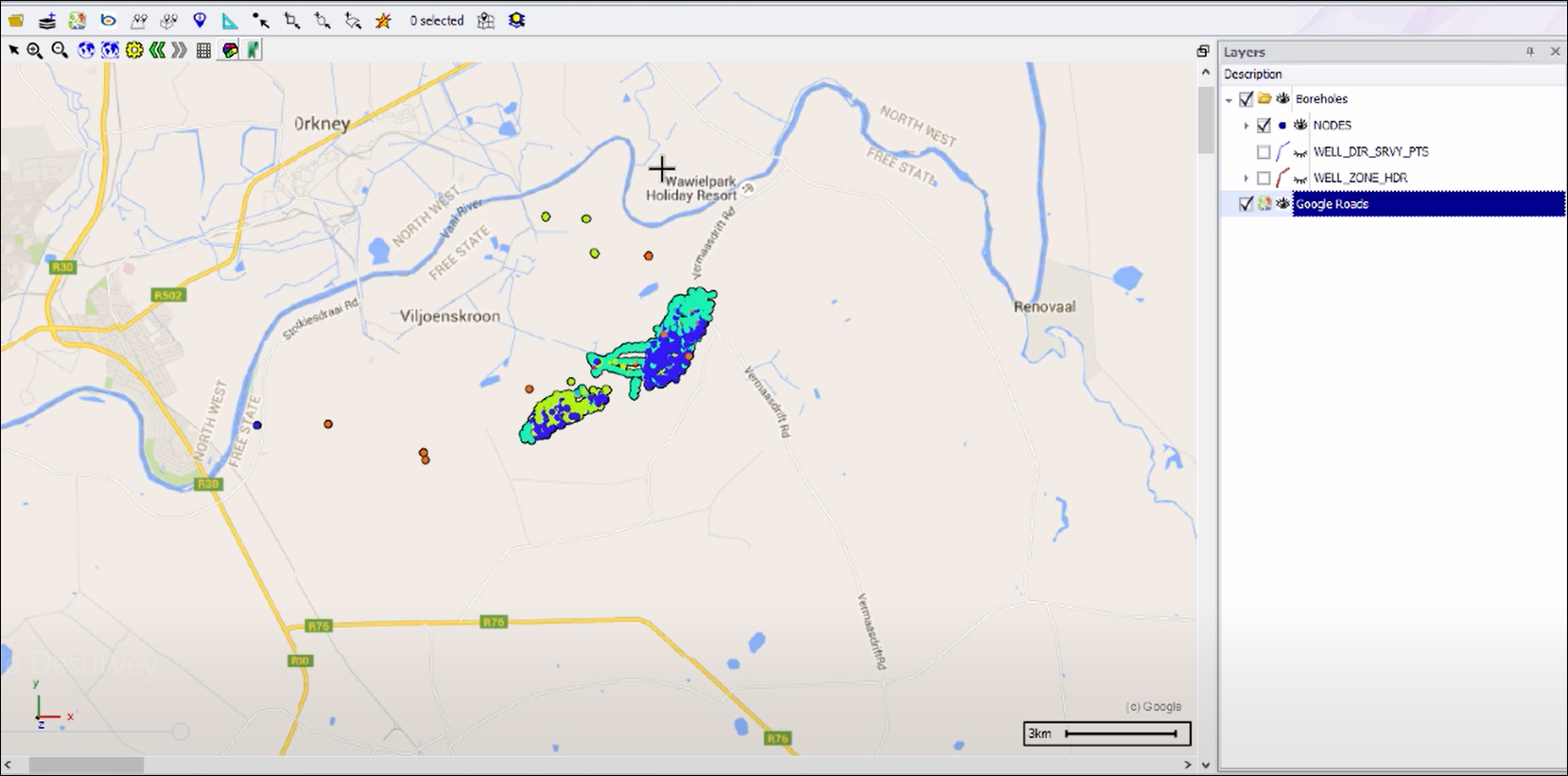
❖To get an idea of how our data looks we can turn on Google Maps to see where it fits, and here we can see that we are actually in the Vaal Reefs area in South Africa:
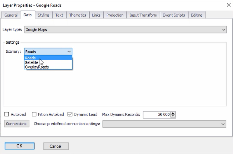
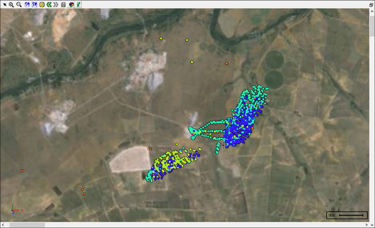
To get a better idea we can change the properties of our Google layer to satellite view instead:
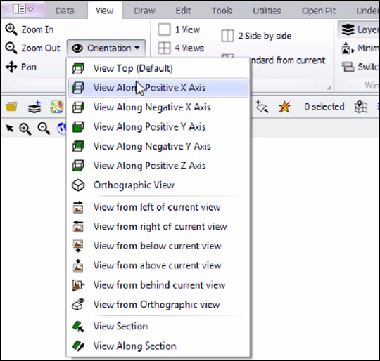
❖We will now be working underground to do the borehole de-survey operation so I will turn off my Google Maps and then I will get a side view of my data:
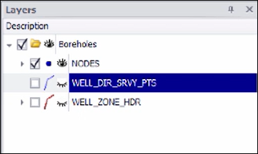
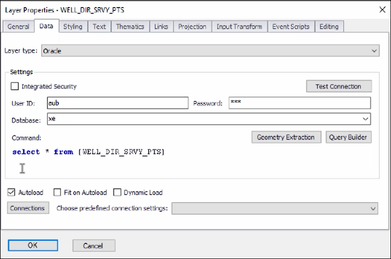
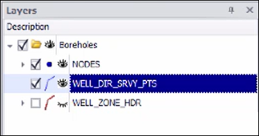
To do the borehole de-survey I then select the layer with the Oracle table that has the surveys in it, which is the WELL_DIR_SRVY_PTS (Well Direction Survey Points) layer, if we view its properties, we see it has the same connection, this time querying data from a different table:
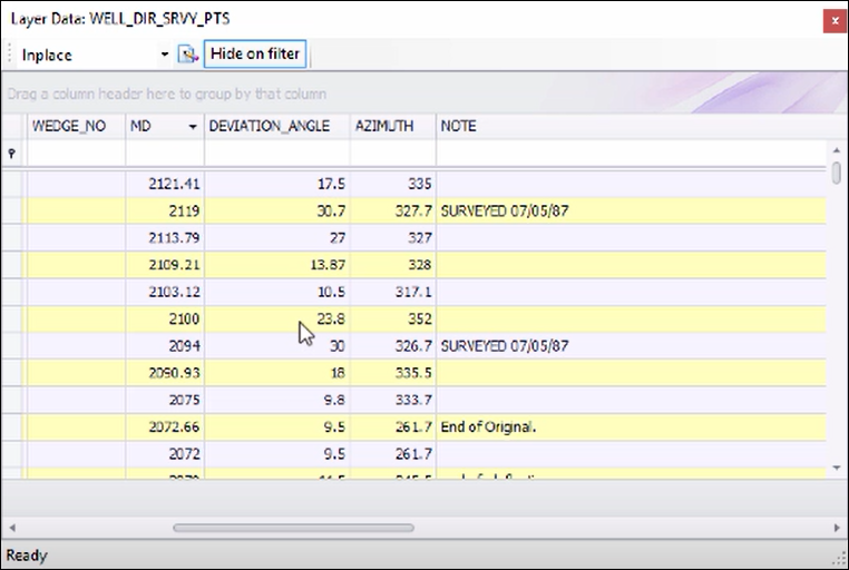
If we then view its data, we will see that it has all the survey values:
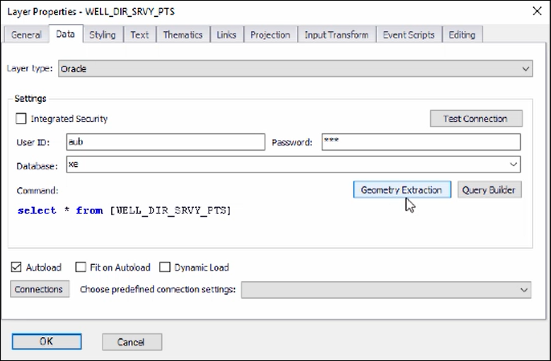
Now what we need to do is tell our system that this is survey data, to do that we go into the Layer Properties and click on Geometry Extraction, here will specify how to extract the geometries in this layer:
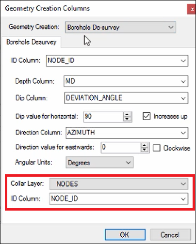
As you can see, I’ve chosen the Borehole De-survey option, then I specified what is the collar layer and what is the unique ID to link on:
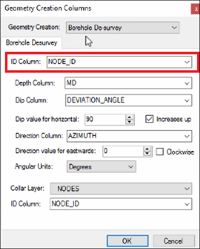
Then I specified the column in the survey data to link to the collar layer with:
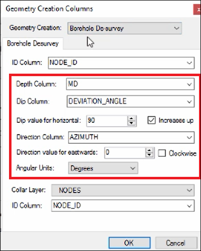
Then I chose corresponding columns in my survey data for Depth Column, Dip Column and Direction Column and specified the other various details such as Dip value for horizontal etc.:
❖Once you have specified your geometry extraction for your survey data and clicked OK on the Geometry Extraction dialogue and Layer Properties box, the boreholes will automatically de-survey. I will turn on the de-surveyed layer and you will see the boreholes:
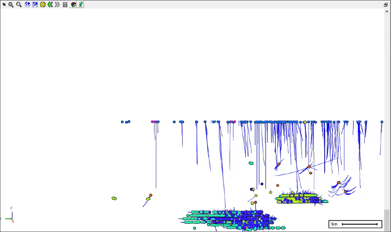
You can snap to one of them using one of the snapping tools and rotate about it to get an idea of how its looking:

Snap to the desired point by clicking and then hold down ctrl while still holding down left click and drag to rotate:
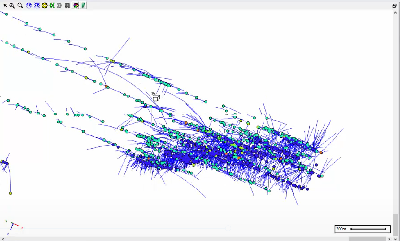
This is an on-the-fly de-survey so if you were to change any of the survey table data in Oracle, all you need to do is refresh the layer and you will get a new de-survey.
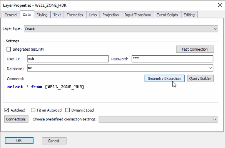
❖Now, what we can do next is to get the stratigraphy of these boreholes using the WELL_ZONE_HDR layer, this layer is pulling its data from an Oracle table as well:
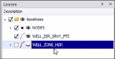
We need to tell the system how to get stratigraphy data out of this layer and so we go to Geometry Extraction in the Layer Properties of this layer:
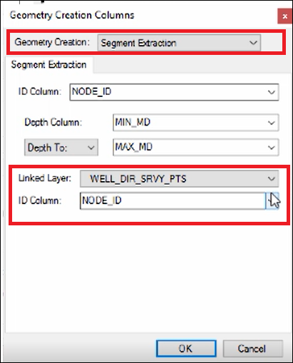
❖This time we choose Segment Extraction. We then choose the layer its linked to and the unique ID column to link on, this is the layer that we are going to extract segments off of since it contains line segments:
Then we choose the ID Column in the stratigraphy layer to link with, we also choose the corresponding columns for depth from and depth to:
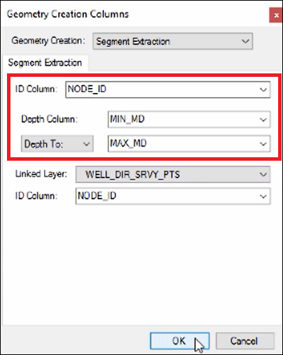
Then we click OK on the Geometry Extraction dialogue and the Layer Properties box and the stratigraphy has been extracted on the fly off those surveyed points:
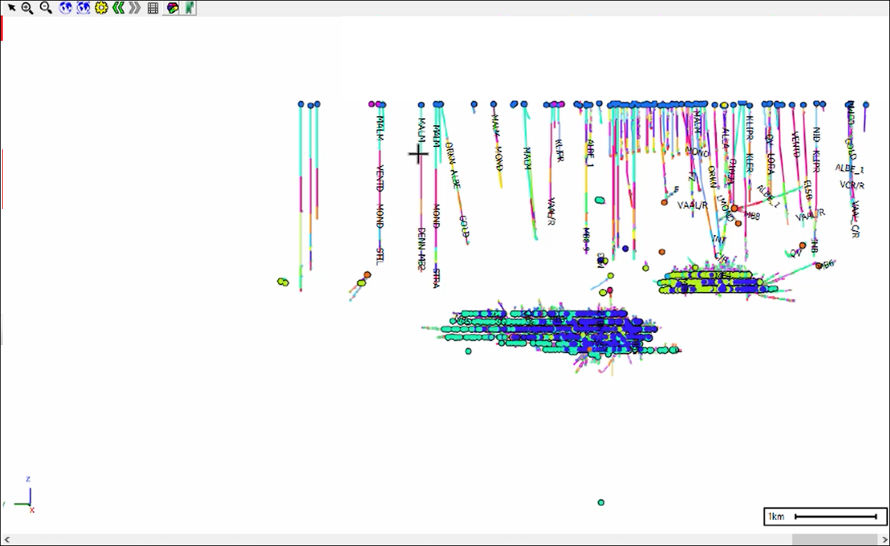
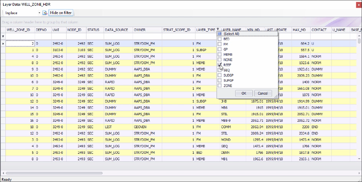
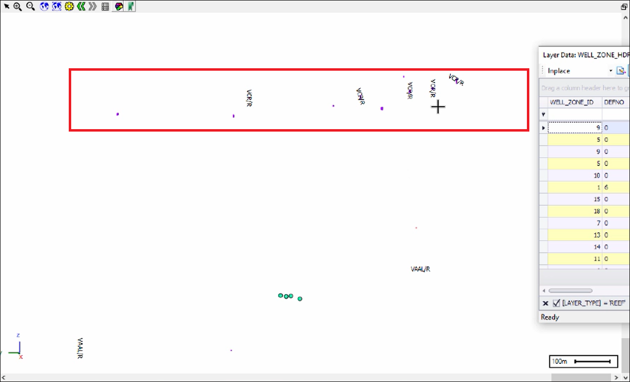
I have the names of the different layers going along the boreholes as text labels. I can do some filters now by going to the layer data of the stratigraphy and filtering on Layer Type for example to only show REEF sections of the boreholes:
