❖QubeXL offers an Excel addin, providing you have SpatialXL. Your data can be plotted on a map and viewed spatially, you can then apply theming and full SpatialXL tools to the data.
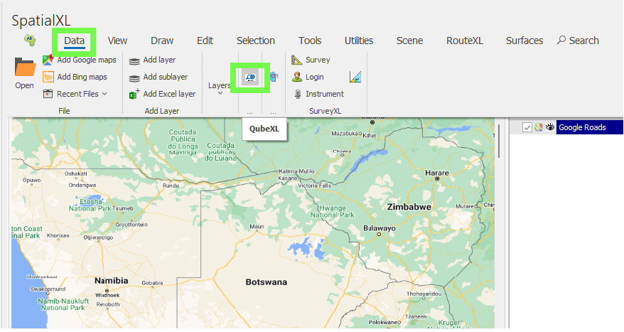
❖First open up SpatialXL. Then in the Data tab select the QubeXL icon to open up the program. When QubeXL is opened up in this location it is linked dynamically with SpatialXL; this is as opposed to opening it up as the standalone program:
I will then open my QubeXL project:
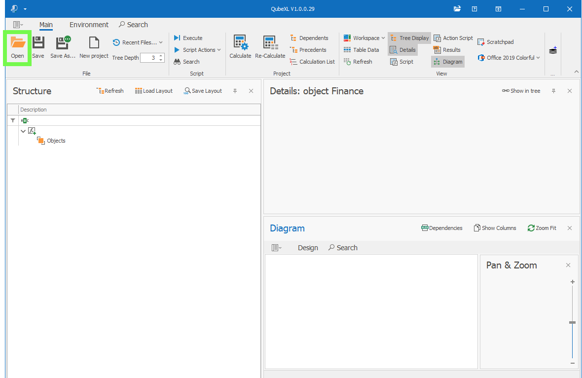
You’ll notice it is the same QubeXL but with a new option in the ribbon on the far right to Add as Layer; this allows you to add your table data as a layer in SpatialXL and this would be data that has coordinates of course:
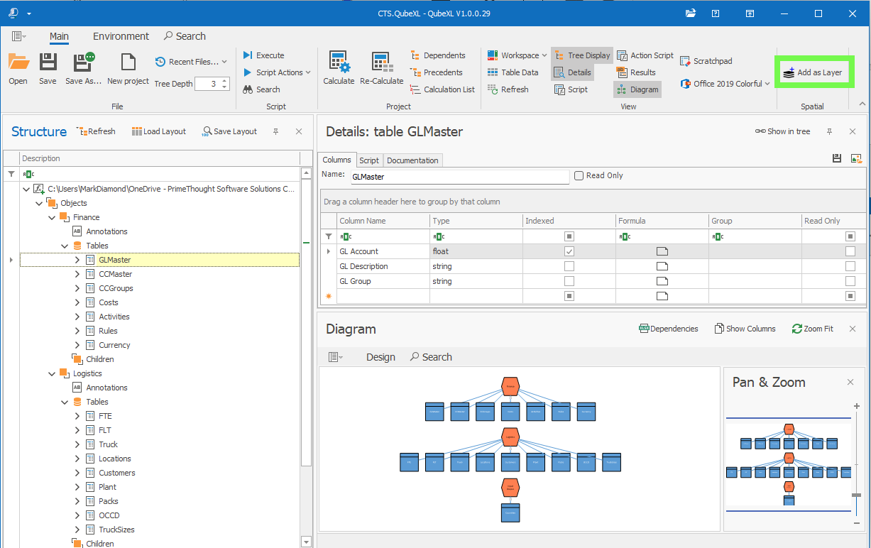
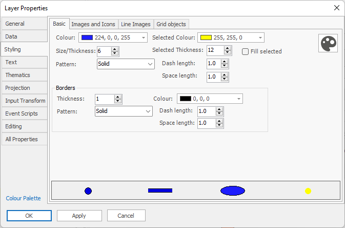
Select the table in the Tree List that you would like to add as a layer. In this example I will add my Customers table as a layer. As I do I’m prompted as usual to set the layer properties of the new layer:
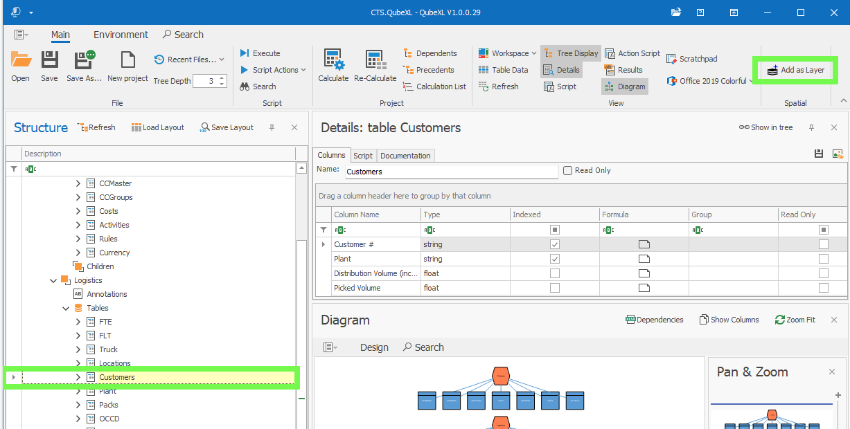
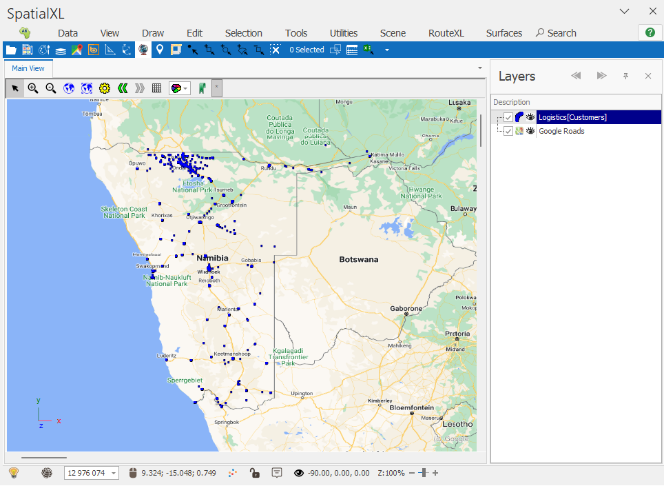
My table is then added as a layer and plotted on the map:
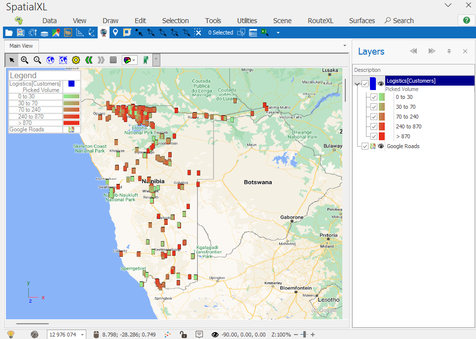
❖I can now apply theming and styling to this layer using the tools of SpatialXL:
❖This layer and all it’s styling etc. will be saved with your SpatialXL workbook, however because it pulls it’s data from QubeXL if you close QubeXL the data will no longer display and you will get the following message in the layer:
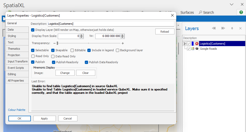
But when you open QubeXL again with the project loaded the data will again display.
❖As data in the table in QubeXL is updated this will automatically update in the layer in SpatialXL as well.