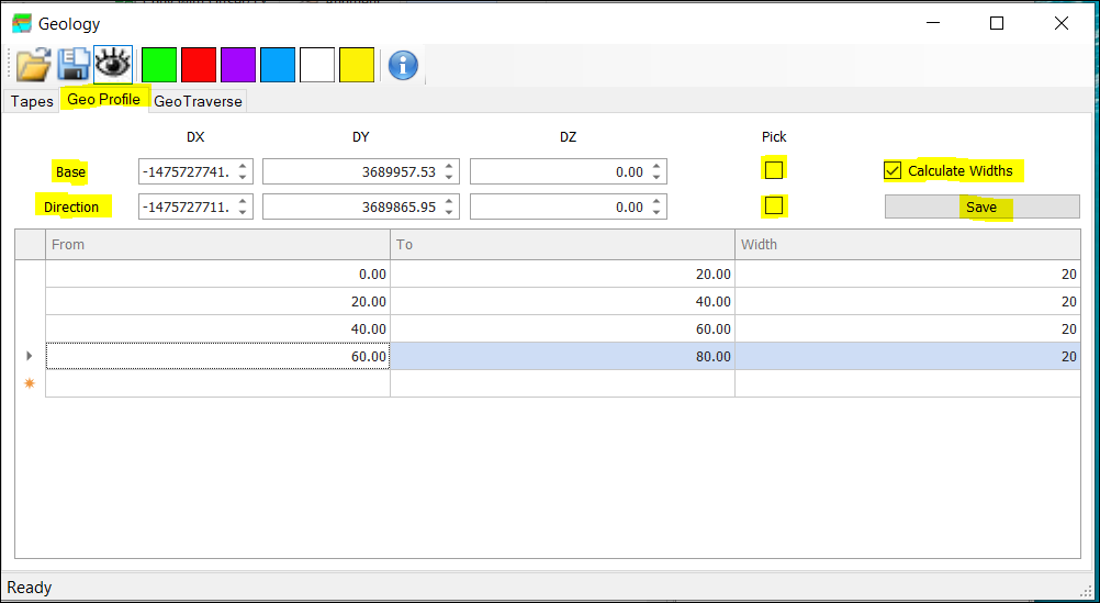
❖ You can create a GeoProfile (usually for boreholes) by selecting two points or typing in the Base and Direction.
❖ Once you have selected the points or typed them in, you can choose the From and To values for each section.
❖ Type in the value for Width for your first entry, then the To value will automatically be inserted. Then type in the From value for the next entry then your To and Width will automatically be calculated. Then type in the next From value and so forth.
❖ If you have Calculate Widths checked on, you can just type in the TO value and then the Width will automatically be calculated. Your Width value will continue to be calculated automatically by filling in the FROM and TO values accordingly.
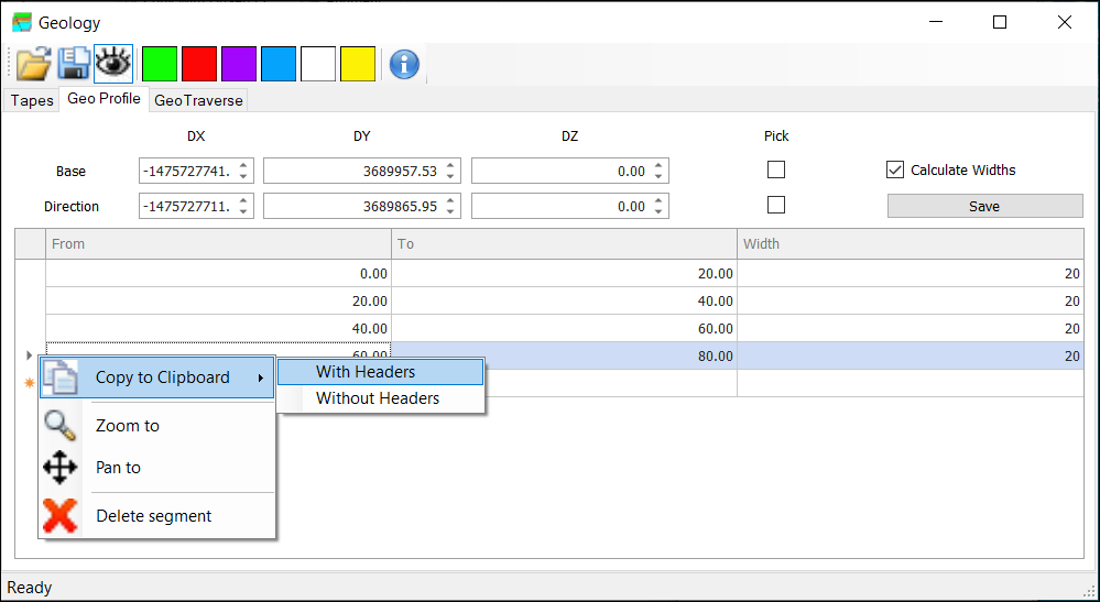
❖ If you select and right click one of the rows, you can copy the data to clipboard etc. Do this before you click Save, otherwise the data here will disappear.
❖ Once you click on Save, it will save these items into a new layer called GeoProfiles/Traverses and be drawn on graphics.
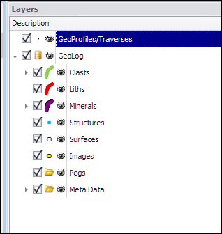
❖ You can now add any of the geometries to a geology class by doing the following:
❖ Select the geometry to be added by using a selection tool (such as Select by clicking).
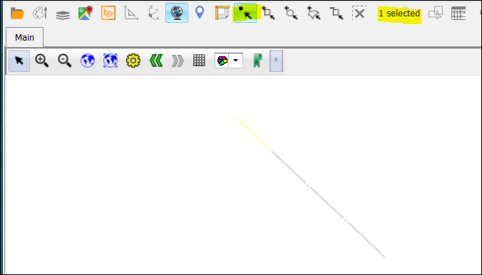
❖ Now select a particular colour on the geology dialog such as green (for Clasts).
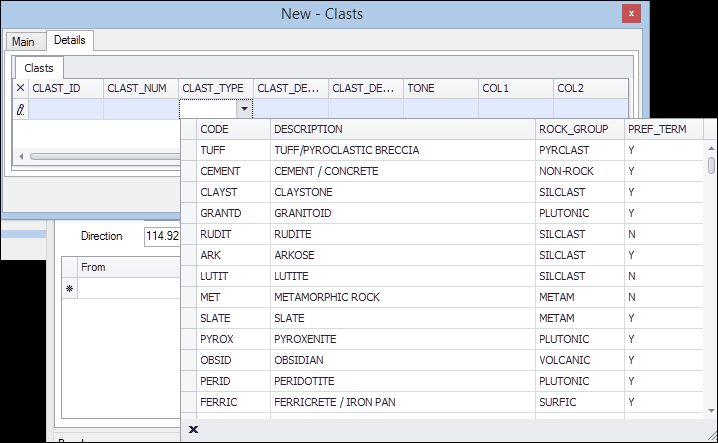
❖ This will open up a dialog where information can be entered about the geology.
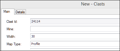
❖ These details are preconfigured for your particular system and can be changed if necessary, by configuration as well.
